Farndon, Notts.
Introduction
The photograph on this page of Farndon, Notts. by David Hallam-Jones as part of the Geograph project.
The Geograph project started in 2005 with the aim of publishing, organising and preserving representative images for every square kilometre of Great Britain, Ireland and the Isle of Man.

There are currently over 7.5m images from over 14,400 individuals and you can help contribute to the project by visiting https://www.geograph.org.uk
Farndon, Notts.
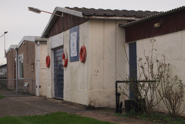
Image: © David Hallam-Jones Taken: 16 Jan 2016
A couple of the buildings overlooking the jetties and the Trent's riverbank are used by the 6th Newark Sea Scouts.
Images are licensed for reuse under creativecommons.org/licenses/by-sa/2.0
Image Location
Latitude
53.061883
Longitude
-0.853949