Track to Mynydd Pen-y-Fan from Pentrapeod
Introduction
The photograph on this page of Track to Mynydd Pen-y-Fan from Pentrapeod by M J Roscoe as part of the Geograph project.
The Geograph project started in 2005 with the aim of publishing, organising and preserving representative images for every square kilometre of Great Britain, Ireland and the Isle of Man.

There are currently over 7.5m images from over 14,400 individuals and you can help contribute to the project by visiting https://www.geograph.org.uk
Track to Mynydd Pen-y-Fan from Pentrapeod
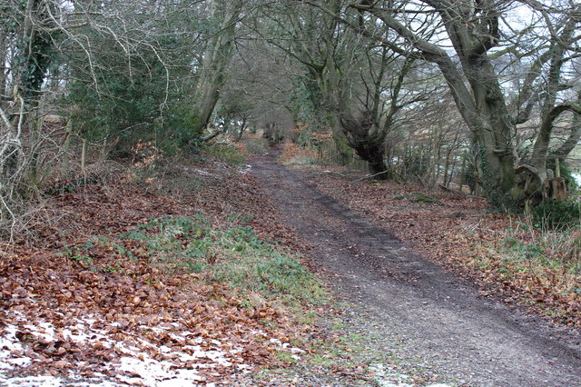
Image: © M J Roscoe Taken: 16 Jan 2016
This rough track, used as a public path, runs from Pentrapeod up to Mynydd Pen-y-Fan and down to the road to Manmoel.
Images are licensed for reuse under creativecommons.org/licenses/by-sa/2.0
Image Location
Latitude
51.702978
Longitude
-3.161954