Farndon, Notts.
Introduction
The photograph on this page of Farndon, Notts. by David Hallam-Jones as part of the Geograph project.
The Geograph project started in 2005 with the aim of publishing, organising and preserving representative images for every square kilometre of Great Britain, Ireland and the Isle of Man.

There are currently over 7.5m images from over 14,400 individuals and you can help contribute to the project by visiting https://www.geograph.org.uk
Farndon, Notts.
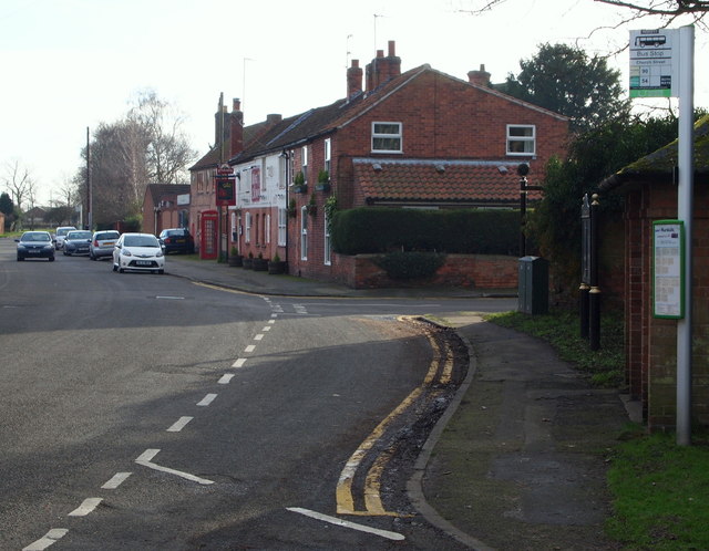
Image: © David Hallam-Jones Taken: 16 Jan 2016
Main Street passes the front of the Rose and Crown pub ahead as it travels towards a T junction with the A46 (a.k.a. The Fosse Way and/or the Foss Way) 5 minutes walk away. The village street seen here, beyond the bus 'pull in' is Cross Lane.
Images are licensed for reuse under creativecommons.org/licenses/by-sa/2.0
Image Location
Latitude
53.058106
Longitude
-0.853751