Bournemouth International Airport
Introduction
The photograph on this page of Bournemouth International Airport by mike smith as part of the Geograph project.
The Geograph project started in 2005 with the aim of publishing, organising and preserving representative images for every square kilometre of Great Britain, Ireland and the Isle of Man.

There are currently over 7.5m images from over 14,400 individuals and you can help contribute to the project by visiting https://www.geograph.org.uk
Bournemouth International Airport
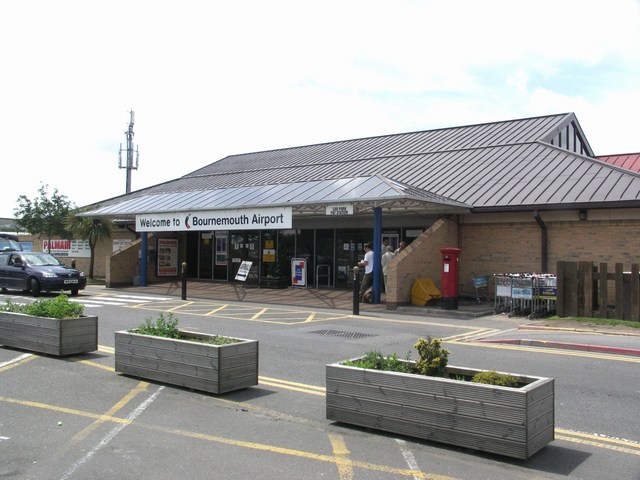
Image: © mike smith Taken: 28 Jun 2007
This fast-growing airport serves a large area of the central south coast with flights to much of Europe. In June 2007, the local council approved plans to replace this small terminal building with a much larger construction.
Images are licensed for reuse under creativecommons.org/licenses/by-sa/2.0
Image Location


Leaflet Map data © OpenStreetMap
Latitude
50.777859
Longitude
-1.832445