Field track and drain alongside Jub Close Wood
Introduction
The photograph on this page of Field track and drain alongside Jub Close Wood by Christine Johnstone as part of the Geograph project.
The Geograph project started in 2005 with the aim of publishing, organising and preserving representative images for every square kilometre of Great Britain, Ireland and the Isle of Man.

There are currently over 7.5m images from over 14,400 individuals and you can help contribute to the project by visiting https://www.geograph.org.uk
Field track and drain alongside Jub Close Wood
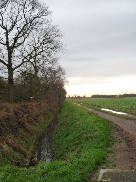
Image: © Christine Johnstone Taken: 13 Jan 2016
This area of drained flat farmland lies between the tidal rivers Aire and Ouse, and is about 5 metres above sea level.
Images are licensed for reuse under creativecommons.org/licenses/by-sa/2.0
Image Location
Latitude
53.734984
Longitude
-1.049021