Sipson Road
Introduction
The photograph on this page of Sipson Road by Marathon as part of the Geograph project.
The Geograph project started in 2005 with the aim of publishing, organising and preserving representative images for every square kilometre of Great Britain, Ireland and the Isle of Man.

There are currently over 7.5m images from over 14,400 individuals and you can help contribute to the project by visiting https://www.geograph.org.uk
Sipson Road
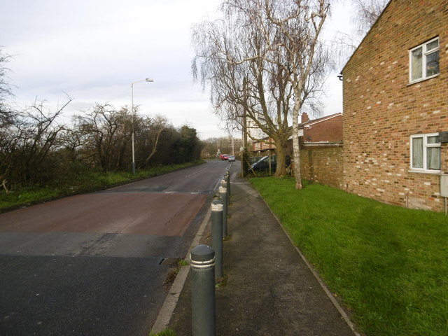
Image: © Marathon Taken: 13 Jan 2016
This is towards the northern end of Sipson. The Plough public house is just around the corner with the M4 beyond that.
Images are licensed for reuse under creativecommons.org/licenses/by-sa/2.0
Image Location
Latitude
51.491787
Longitude
-0.457576