Houses at Upper Lintz
Introduction
The photograph on this page of Houses at Upper Lintz by Robert Graham as part of the Geograph project.
The Geograph project started in 2005 with the aim of publishing, organising and preserving representative images for every square kilometre of Great Britain, Ireland and the Isle of Man.

There are currently over 7.5m images from over 14,400 individuals and you can help contribute to the project by visiting https://www.geograph.org.uk
Houses at Upper Lintz
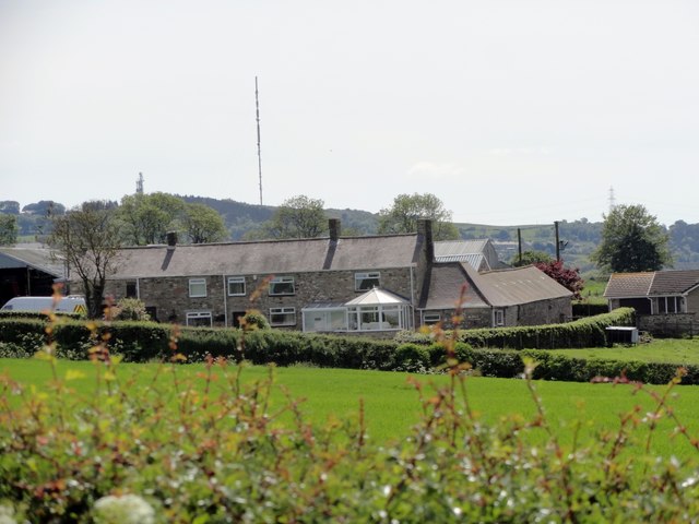
Image: © Robert Graham Taken: 6 Jun 2014
This farm stands in the fields south of Burnopfield. Although the building in the centre looks like a terrace of houses, it was probably the original linear type farmhouse with attached byres for the animals. It has been converted to residential in recent times. The present farmhouse may be the bungalow on the right. The TV Mast at Pontop Pike is visible in the background.
Images are licensed for reuse under creativecommons.org/licenses/by-sa/2.0
Image Location
Latitude
54.894064
Longitude
-1.747392