Horton Road, West Drayton
Introduction
The photograph on this page of Horton Road, West Drayton by David Howard as part of the Geograph project.
The Geograph project started in 2005 with the aim of publishing, organising and preserving representative images for every square kilometre of Great Britain, Ireland and the Isle of Man.

There are currently over 7.5m images from over 14,400 individuals and you can help contribute to the project by visiting https://www.geograph.org.uk
Horton Road, West Drayton
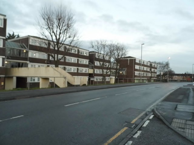
Image: © David Howard Taken: 4 Jan 2016
Yiewsley is east of West Drayton and were part of the pre-1965 borough, but not many people could draw a line where one ends and the other takes over.
Images are licensed for reuse under creativecommons.org/licenses/by-sa/2.0
Image Location
Latitude
51.511083
Longitude
-0.468453