Old Kent Reservoir, St Thomas Hill
Introduction
The photograph on this page of Old Kent Reservoir, St Thomas Hill by John Baker as part of the Geograph project.
The Geograph project started in 2005 with the aim of publishing, organising and preserving representative images for every square kilometre of Great Britain, Ireland and the Isle of Man.

There are currently over 7.5m images from over 14,400 individuals and you can help contribute to the project by visiting https://www.geograph.org.uk
Old Kent Reservoir, St Thomas Hill
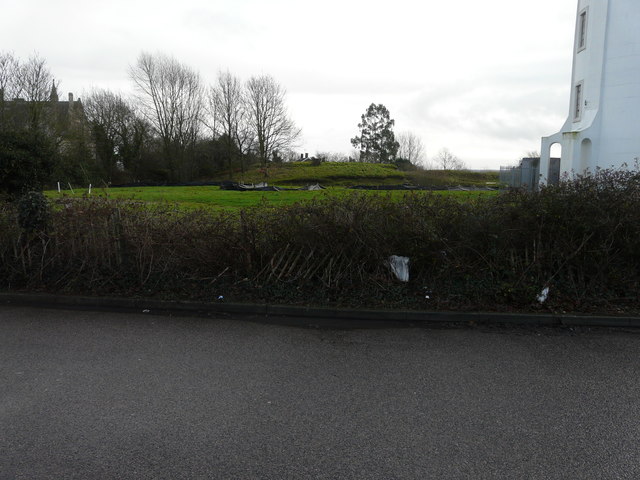
Image: © John Baker Taken: 4 Jan 2016
Seen from Neal’s Place Road, the reservoir is the large mound to the right of the water tower. Planning permission has been granted by Canterbury City Council under application number CA//15/01298 for the “conversion of existing redundant water storage tank to form one four-bedroom dwelling with associated external works”.
Images are licensed for reuse under creativecommons.org/licenses/by-sa/2.0
Image Location
Latitude
51.291333
Longitude
1.057959