Ancient field boundary at No Man's Land
Introduction
The photograph on this page of Ancient field boundary at No Man's Land by Richard Law as part of the Geograph project.
The Geograph project started in 2005 with the aim of publishing, organising and preserving representative images for every square kilometre of Great Britain, Ireland and the Isle of Man.

There are currently over 7.5m images from over 14,400 individuals and you can help contribute to the project by visiting https://www.geograph.org.uk
Ancient field boundary at No Man's Land
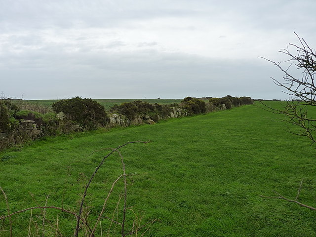
Image: © Richard Law Taken: 28 Dec 2015
One of several old Cornish hedges separating the fields around here; this one is comprised mainly of large boulders with infill, rather than the more recent method of building what amounts to a drystone wall of smaller rocks. It looks and feels like a prehistoric boundary line.
Images are licensed for reuse under creativecommons.org/licenses/by-sa/2.0
Image Location
Latitude
50.087407
Longitude
-5.634329