Outside Harworth All Saints Primary School
Introduction
The photograph on this page of Outside Harworth All Saints Primary School by Neil Theasby as part of the Geograph project.
The Geograph project started in 2005 with the aim of publishing, organising and preserving representative images for every square kilometre of Great Britain, Ireland and the Isle of Man.

There are currently over 7.5m images from over 14,400 individuals and you can help contribute to the project by visiting https://www.geograph.org.uk
Outside Harworth All Saints Primary School
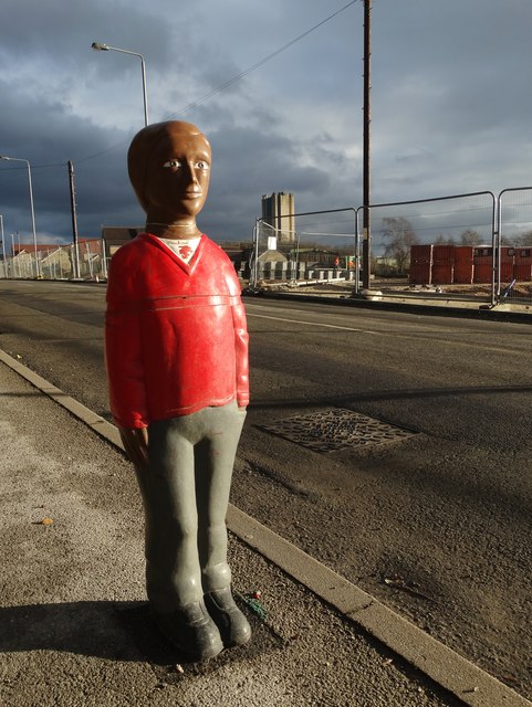
Image: © Neil Theasby Taken: 12 Jan 2016
Looking to Harworth Colliery's pithead tower. There are three figures of children by Scrooby Road - no doubt intended to urge passing drivers to quell their speed. On the opposite side of the road brand new housing development is in progress.
Images are licensed for reuse under creativecommons.org/licenses/by-sa/2.0
Image Location
Latitude
53.416849
Longitude
-1.06847