The pithead tower at Harworth Colliery
Introduction
The photograph on this page of The pithead tower at Harworth Colliery by Neil Theasby as part of the Geograph project.
The Geograph project started in 2005 with the aim of publishing, organising and preserving representative images for every square kilometre of Great Britain, Ireland and the Isle of Man.

There are currently over 7.5m images from over 14,400 individuals and you can help contribute to the project by visiting https://www.geograph.org.uk
The pithead tower at Harworth Colliery
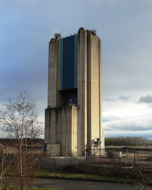
Image: © Neil Theasby Taken: 12 Jan 2016
Harworth Colliery was mothballed in 2006. It is now surely just a question of time before this giant structure is demolished.
Images are licensed for reuse under creativecommons.org/licenses/by-sa/2.0
Image Location
Latitude
53.414359
Longitude
-1.0604