Wrosecliffe Grove (1)
Introduction
The photograph on this page of Wrosecliffe Grove (1) by Chris Heaton as part of the Geograph project.
The Geograph project started in 2005 with the aim of publishing, organising and preserving representative images for every square kilometre of Great Britain, Ireland and the Isle of Man.

There are currently over 7.5m images from over 14,400 individuals and you can help contribute to the project by visiting https://www.geograph.org.uk
Wrosecliffe Grove (1)
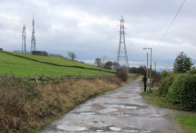
Image: © Chris Heaton Taken: 12 Jan 2016
Track that runs just beneath the summit of Idle Hill, on the northern side - offering splendid views of the Aire Valley in the Shipley and Saltaire area. The masts belong to the relay station connected to Emley Moor.
Images are licensed for reuse under creativecommons.org/licenses/by-sa/2.0
Image Location


Leaflet Map data © OpenStreetMap
Latitude
53.834394
Longitude
-1.748791