Looking NNE from Folkestone Road railway bridge
Introduction
The photograph on this page of Looking NNE from Folkestone Road railway bridge by John Baker as part of the Geograph project.
The Geograph project started in 2005 with the aim of publishing, organising and preserving representative images for every square kilometre of Great Britain, Ireland and the Isle of Man.

There are currently over 7.5m images from over 14,400 individuals and you can help contribute to the project by visiting https://www.geograph.org.uk
Looking NNE from Folkestone Road railway bridge
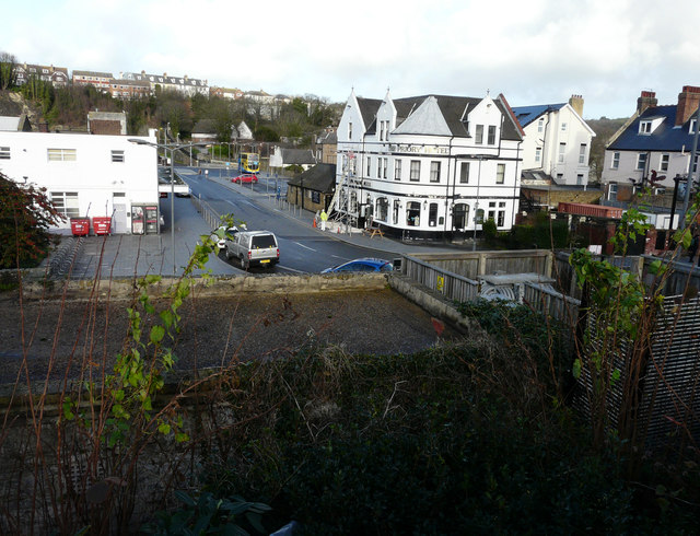
Image: © John Baker Taken: 31 Dec 2015
To where scaffolding has been erected to enable The Priory Hotel to have its exterior repainted. In the distance, beyond the red car, the double-decker bus may be used to transport railway customers to Folkestone Central railway station. This is due to the closure of the line, between Dover and Folkestone, due to damage to the seawall near Shakespeare Tunnel on 24 December 2015.
Images are licensed for reuse under creativecommons.org/licenses/by-sa/2.0
Image Location
Latitude
51.125647
Longitude
1.305862