Elfrida Crescent SE6
Introduction
The photograph on this page of Elfrida Crescent SE6 by Philip Talmage as part of the Geograph project.
The Geograph project started in 2005 with the aim of publishing, organising and preserving representative images for every square kilometre of Great Britain, Ireland and the Isle of Man.

There are currently over 7.5m images from over 14,400 individuals and you can help contribute to the project by visiting https://www.geograph.org.uk
Elfrida Crescent SE6
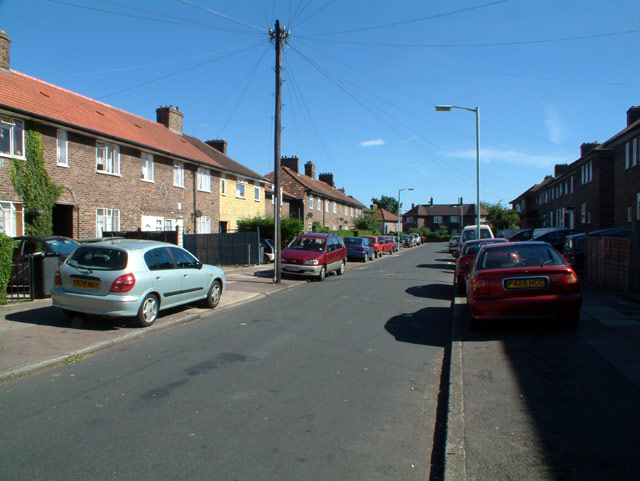
Image: © Philip Talmage Taken: 29 Aug 2005
Note stone cladding on the house just to the left of the telegraph pole.
Images are licensed for reuse under creativecommons.org/licenses/by-sa/2.0
Image Location
Latitude
51.425835
Longitude
-0.023665