The Shot Tower at Crane Park Island
Introduction
The photograph on this page of The Shot Tower at Crane Park Island by Peter S as part of the Geograph project.
The Geograph project started in 2005 with the aim of publishing, organising and preserving representative images for every square kilometre of Great Britain, Ireland and the Isle of Man.

There are currently over 7.5m images from over 14,400 individuals and you can help contribute to the project by visiting https://www.geograph.org.uk
The Shot Tower at Crane Park Island
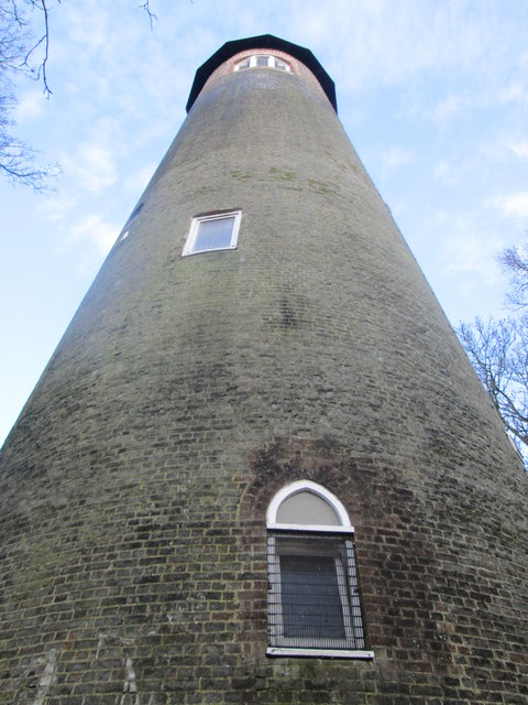
Image: © Peter S Taken: 29 Dec 2015
The tower is 83 feet high and is a Grade II listed building.
Images are licensed for reuse under creativecommons.org/licenses/by-sa/2.0
Image Location
Latitude
51.442855
Longitude
-0.37663