Hawton, Notts.
Introduction
The photograph on this page of Hawton, Notts. by David Hallam-Jones as part of the Geograph project.
The Geograph project started in 2005 with the aim of publishing, organising and preserving representative images for every square kilometre of Great Britain, Ireland and the Isle of Man.

There are currently over 7.5m images from over 14,400 individuals and you can help contribute to the project by visiting https://www.geograph.org.uk
Hawton, Notts.
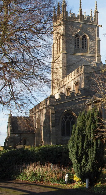
Image: © David Hallam-Jones Taken: 10 Jan 2016
This view of the eastern elevation of the Grade I-listed All Saints Parish Church was taken from a private drive serving a number of houses situated in the church's shadow.
Images are licensed for reuse under creativecommons.org/licenses/by-sa/2.0
Image Location
Latitude
53.051535
Longitude
-0.825281