King Alfred Drive
Introduction
The photograph on this page of King Alfred Drive by Nigel Mykura as part of the Geograph project.
The Geograph project started in 2005 with the aim of publishing, organising and preserving representative images for every square kilometre of Great Britain, Ireland and the Isle of Man.

There are currently over 7.5m images from over 14,400 individuals and you can help contribute to the project by visiting https://www.geograph.org.uk
King Alfred Drive
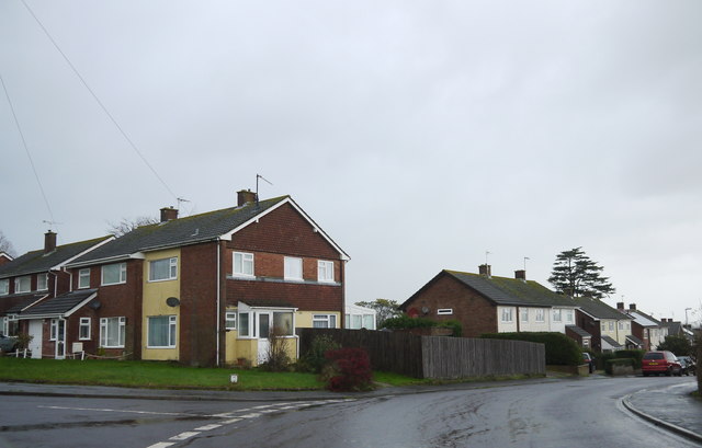
Image: © Nigel Mykura Taken: 31 Dec 2015
King Alfred drive runs between the Forton Rd the B3162 and the Tatworth Road, the A358. It is a modern residential estate consisting mainly of short terraces and semi-detached houses.
Images are licensed for reuse under creativecommons.org/licenses/by-sa/2.0
Image Location
Latitude
50.866815
Longitude
-2.961983