East Stoke, Notts.
Introduction
The photograph on this page of East Stoke, Notts. by David Hallam-Jones as part of the Geograph project.
The Geograph project started in 2005 with the aim of publishing, organising and preserving representative images for every square kilometre of Great Britain, Ireland and the Isle of Man.

There are currently over 7.5m images from over 14,400 individuals and you can help contribute to the project by visiting https://www.geograph.org.uk
East Stoke, Notts.
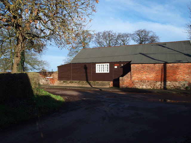
Image: © David Hallam-Jones Taken: 10 Jan 2016
With Humber Lane behind the photographer, the Women's Institute hall is seen ahead at the junction with School Lane on the right and Church Lane on the left. Within a minute or so, on foot, the junction with the Fosse Way linking Nottingham and Newark (i.e. the former A46) can be reached. Conversely, a five minute walk left, along Church Lane, leads to Stoke Hall, a Grade II-listed function venue.
Images are licensed for reuse under creativecommons.org/licenses/by-sa/2.0
Image Location
Latitude
53.039564
Longitude
-0.879598