East Stoke, Notts.
Introduction
The photograph on this page of East Stoke, Notts. by David Hallam-Jones as part of the Geograph project.
The Geograph project started in 2005 with the aim of publishing, organising and preserving representative images for every square kilometre of Great Britain, Ireland and the Isle of Man.

There are currently over 7.5m images from over 14,400 individuals and you can help contribute to the project by visiting https://www.geograph.org.uk
East Stoke, Notts.
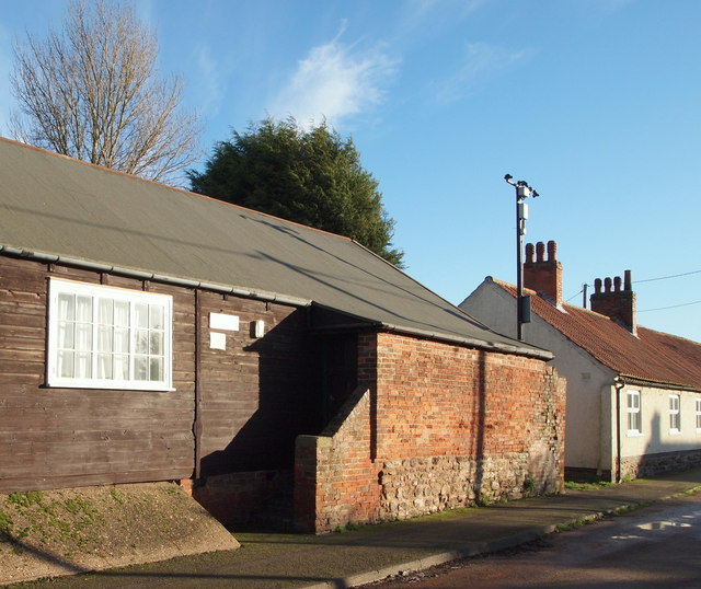
Image: © David Hallam-Jones Taken: 10 Jan 2016
The Women's Institute premises on School Lane. Opposite this window, on the other side of a T junction, is a minor lane known as Humber Lane. A minute's walk ahead, beyond the white-painted cottages is the Fosse Way (the former A46) that links Nottingham and Newark.
Images are licensed for reuse under creativecommons.org/licenses/by-sa/2.0
Image Location
Latitude
53.039561
Longitude
-0.8793