Crookbank Farm from the north
Introduction
The photograph on this page of Crookbank Farm from the north by Robert Graham as part of the Geograph project.
The Geograph project started in 2005 with the aim of publishing, organising and preserving representative images for every square kilometre of Great Britain, Ireland and the Isle of Man.

There are currently over 7.5m images from over 14,400 individuals and you can help contribute to the project by visiting https://www.geograph.org.uk
Crookbank Farm from the north
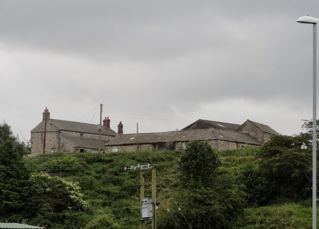
Image: © Robert Graham Taken: 4 Jul 2014
This farm stands on a ridge above the A692, the main road from Gateshead to Consett. It has a lot of old buildings, probably early C19 in origin.
Images are licensed for reuse under creativecommons.org/licenses/by-sa/2.0
Image Location


Leaflet Map data © OpenStreetMap
Latitude
54.906396
Longitude
-1.716279