Front elevation of Fellside farmhouse
Introduction
The photograph on this page of Front elevation of Fellside farmhouse by Robert Graham as part of the Geograph project.
The Geograph project started in 2005 with the aim of publishing, organising and preserving representative images for every square kilometre of Great Britain, Ireland and the Isle of Man.

There are currently over 7.5m images from over 14,400 individuals and you can help contribute to the project by visiting https://www.geograph.org.uk
Front elevation of Fellside farmhouse
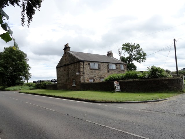
Image: © Robert Graham Taken: 4 Jul 2014
Fellside farm stands on Fellside Road, which runs south from Whickham. The farmhouse here is probably early C19 and doesn't appear to have been much modified, externally at least.
Images are licensed for reuse under creativecommons.org/licenses/by-sa/2.0
Image Location
Latitude
54.922801
Longitude
-1.699469