Path by the River Roding
Introduction
The photograph on this page of Path by the River Roding by Robin Webster as part of the Geograph project.
The Geograph project started in 2005 with the aim of publishing, organising and preserving representative images for every square kilometre of Great Britain, Ireland and the Isle of Man.

There are currently over 7.5m images from over 14,400 individuals and you can help contribute to the project by visiting https://www.geograph.org.uk
Path by the River Roding
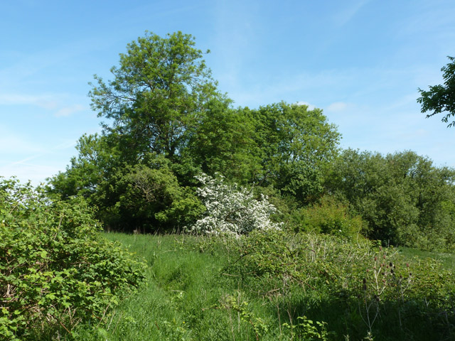
Image: © Robin Webster Taken: 5 Jun 2013
The river is down to the right. This route is an alternative to the mapped route of the path, which is a bit further away from the river, on the other side of the brambles on the left.
Images are licensed for reuse under creativecommons.org/licenses/by-sa/2.0
Image Location
Latitude
51.695943
Longitude
0.257379