Tight right-hander north of St Buryan
Introduction
The photograph on this page of Tight right-hander north of St Buryan by Richard Law as part of the Geograph project.
The Geograph project started in 2005 with the aim of publishing, organising and preserving representative images for every square kilometre of Great Britain, Ireland and the Isle of Man.

There are currently over 7.5m images from over 14,400 individuals and you can help contribute to the project by visiting https://www.geograph.org.uk
Tight right-hander north of St Buryan
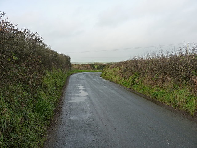
Image: © Richard Law Taken: 26 Dec 2015
One of several sharp bends in the lane heading for Crows-an-Wra; this one has a large stone on the inside of the bend that holds a faint benchmark Image
Images are licensed for reuse under creativecommons.org/licenses/by-sa/2.0
Image Location
Latitude
50.08211
Longitude
-5.631132