Church Hill, Fremington
Introduction
The photograph on this page of Church Hill, Fremington by Roger A Smith as part of the Geograph project.
The Geograph project started in 2005 with the aim of publishing, organising and preserving representative images for every square kilometre of Great Britain, Ireland and the Isle of Man.

There are currently over 7.5m images from over 14,400 individuals and you can help contribute to the project by visiting https://www.geograph.org.uk
Church Hill, Fremington
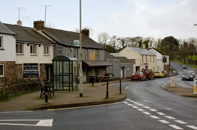
Image: © Roger A Smith Taken: 3 Jan 2016
This photograph was taken from a similar angle to one taken by Francis Frith in 1955 (Negative no. F100002). The buildings are largely unchanged but the road is somewhat wider. Land belonging to Fremington Manor was used for this purpose.
Images are licensed for reuse under creativecommons.org/licenses/by-sa/2.0
Image Location
Latitude
51.071815
Longitude
-4.123061