28-34 Lansdowne Gardens
Introduction
The photograph on this page of 28-34 Lansdowne Gardens by Stephen Richards as part of the Geograph project.
The Geograph project started in 2005 with the aim of publishing, organising and preserving representative images for every square kilometre of Great Britain, Ireland and the Isle of Man.

There are currently over 7.5m images from over 14,400 individuals and you can help contribute to the project by visiting https://www.geograph.org.uk
28-34 Lansdowne Gardens
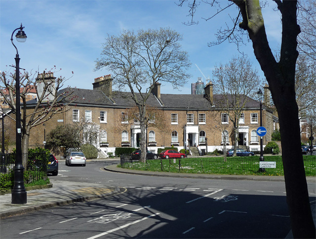
Image: © Stephen Richards Taken: 21 Apr 2013
One quadrant of the circus at the heart of an early Victorian development, built by John Snell, 1843-50. Grade II listed.
Images are licensed for reuse under creativecommons.org/licenses/by-sa/2.0
Image Location
Latitude
51.476266
Longitude
-0.126609