High water level on the River Severn and a muddy footpath, near Bewdley, Worcs
Introduction
The photograph on this page of High water level on the River Severn and a muddy footpath, near Bewdley, Worcs by P L Chadwick as part of the Geograph project.
The Geograph project started in 2005 with the aim of publishing, organising and preserving representative images for every square kilometre of Great Britain, Ireland and the Isle of Man.

There are currently over 7.5m images from over 14,400 individuals and you can help contribute to the project by visiting https://www.geograph.org.uk
High water level on the River Severn and a muddy footpath, near Bewdley, Worcs
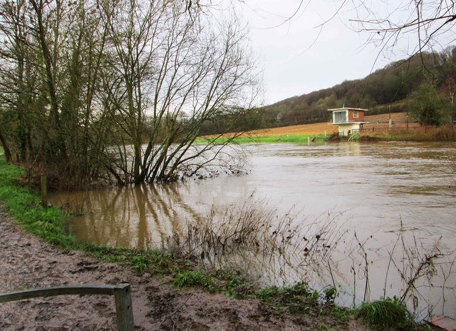
Image: © P L Chadwick Taken: 4 Jan 2016
Early in January the River Severn had risen considerably and in some places had burst its banks. The adjacent footpath here had become extremely muddy.
Images are licensed for reuse under creativecommons.org/licenses/by-sa/2.0
Image Location


Leaflet Map data © OpenStreetMap
Latitude
52.382764
Longitude
-2.321558