Washed up by the Irwell
Introduction
The photograph on this page of Washed up by the Irwell by Carroll Pierce as part of the Geograph project.
The Geograph project started in 2005 with the aim of publishing, organising and preserving representative images for every square kilometre of Great Britain, Ireland and the Isle of Man.

There are currently over 7.5m images from over 14,400 individuals and you can help contribute to the project by visiting https://www.geograph.org.uk
Washed up by the Irwell
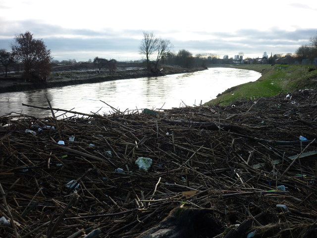
Image: © Carroll Pierce Taken: 27 Dec 2015
Taken beside the footbridge over the River Irwell at Kersal Dale, I am looking upriver towards the centre of Salford. As can be seen, the river, swollen by the Boxing Day deluge caused by Storm Frank, left behind much detritus in its wake.
Images are licensed for reuse under creativecommons.org/licenses/by-sa/2.0
Image Location
Latitude
53.506272
Longitude
-2.275123