OS benchmark - St Buryan, Pendrea farm gatepost
Introduction
The photograph on this page of OS benchmark - St Buryan, Pendrea farm gatepost by Richard Law as part of the Geograph project.
The Geograph project started in 2005 with the aim of publishing, organising and preserving representative images for every square kilometre of Great Britain, Ireland and the Isle of Man.

There are currently over 7.5m images from over 14,400 individuals and you can help contribute to the project by visiting https://www.geograph.org.uk
OS benchmark - St Buryan, Pendrea farm gatepost
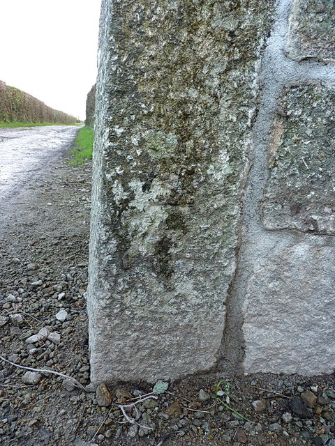
Image: © Richard Law Taken: 24 Dec 2015
An OS cutmark on the gatepost at the entrance to the lane past Pendrea Farm; originally levelled at 101.151m above Ordnance Datum Newlyn.
Images are licensed for reuse under creativecommons.org/licenses/by-sa/2.0
Image Location


Leaflet Map data © OpenStreetMap
Latitude
50.069576
Longitude
-5.630016