Brynglas Avenue bus shelter and BT phonebox, Newport
Introduction
The photograph on this page of Brynglas Avenue bus shelter and BT phonebox, Newport by Jaggery as part of the Geograph project.
The Geograph project started in 2005 with the aim of publishing, organising and preserving representative images for every square kilometre of Great Britain, Ireland and the Isle of Man.

There are currently over 7.5m images from over 14,400 individuals and you can help contribute to the project by visiting https://www.geograph.org.uk
Brynglas Avenue bus shelter and BT phonebox, Newport
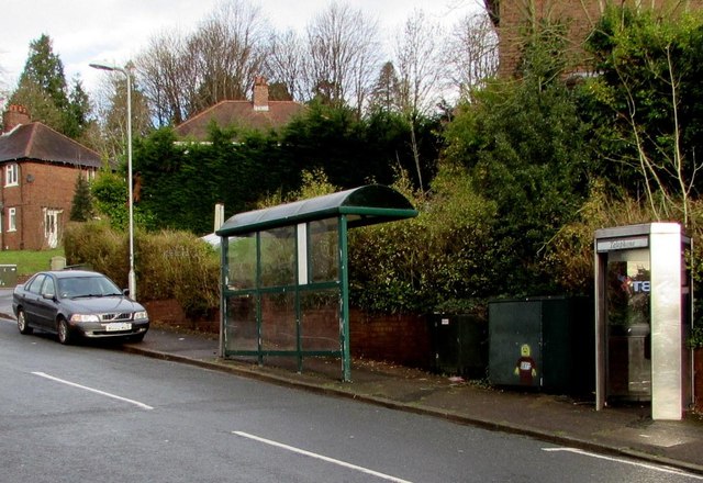
Image: © Jaggery Taken: 5 Jan 2016
Located near the Brynglas Avenue junction. The stop is used by buses towards the city centre. In January 2016, this route is operated by NAT (New Adventure Travel). It was previously operated by Newport Bus.
Images are licensed for reuse under creativecommons.org/licenses/by-sa/2.0
Image Location
Latitude
51.604505
Longitude
-2.997279