St Buryan primary school and academy
Introduction
The photograph on this page of St Buryan primary school and academy by Richard Law as part of the Geograph project.
The Geograph project started in 2005 with the aim of publishing, organising and preserving representative images for every square kilometre of Great Britain, Ireland and the Isle of Man.

There are currently over 7.5m images from over 14,400 individuals and you can help contribute to the project by visiting https://www.geograph.org.uk
St Buryan primary school and academy
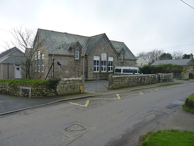
Image: © Richard Law Taken: 26 Dec 2015
This school was built in 1910, replacing the site that now serves as Image
Images are licensed for reuse under creativecommons.org/licenses/by-sa/2.0
Image Location
Latitude
50.073973
Longitude
-5.620871