Earthworks for playing fields, 1983
Introduction
The photograph on this page of Earthworks for playing fields, 1983 by Robin Webster as part of the Geograph project.
The Geograph project started in 2005 with the aim of publishing, organising and preserving representative images for every square kilometre of Great Britain, Ireland and the Isle of Man.

There are currently over 7.5m images from over 14,400 individuals and you can help contribute to the project by visiting https://www.geograph.org.uk
Earthworks for playing fields, 1983
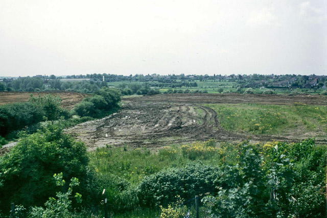
Image: © Robin Webster Taken: Unknown
The fields behind Humber Road sloping down to the River Chelmer are being levelled to convert them into playing fields. They were previously arable, and a little earlier held cattle. The hedge was preserved.
Images are licensed for reuse under creativecommons.org/licenses/by-sa/2.0
Image Location
Latitude
51.747135
Longitude
0.479272