Osmotherley from the Cleveland Way
Introduction
The photograph on this page of Osmotherley from the Cleveland Way by Derek Harper as part of the Geograph project.
The Geograph project started in 2005 with the aim of publishing, organising and preserving representative images for every square kilometre of Great Britain, Ireland and the Isle of Man.

There are currently over 7.5m images from over 14,400 individuals and you can help contribute to the project by visiting https://www.geograph.org.uk
Osmotherley from the Cleveland Way
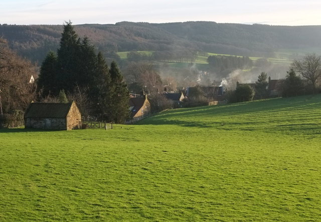
Image: © Derek Harper Taken: 27 Dec 2015
From Ruebury Lane (byway 10 111/012). The house with the long sloping roof left of centre is listed http://www.historicengland.org.uk/listing/the-list/list-entry/1315150 .
Images are licensed for reuse under creativecommons.org/licenses/by-sa/2.0
Image Location
Latitude
54.371427
Longitude
-1.2996