Towards Osmotherley
Introduction
The photograph on this page of Towards Osmotherley by Derek Harper as part of the Geograph project.
The Geograph project started in 2005 with the aim of publishing, organising and preserving representative images for every square kilometre of Great Britain, Ireland and the Isle of Man.

There are currently over 7.5m images from over 14,400 individuals and you can help contribute to the project by visiting https://www.geograph.org.uk
Towards Osmotherley
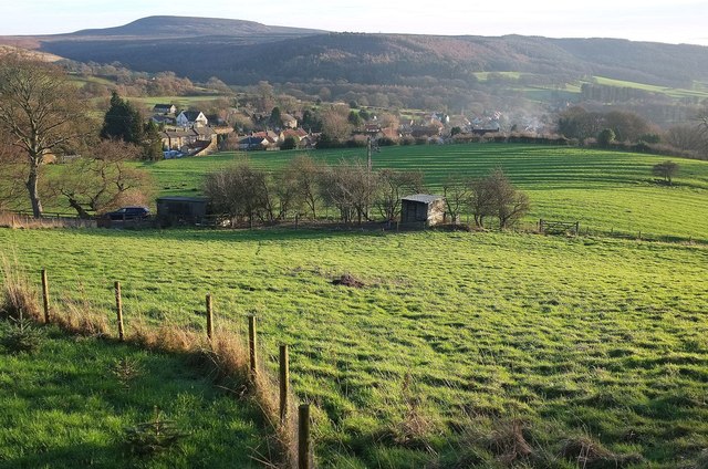
Image: © Derek Harper Taken: 27 Dec 2015
From the Way on Ruebury Lane, looking across the Cod Beck valley. On the horizon is Black Hambleton.
Images are licensed for reuse under creativecommons.org/licenses/by-sa/2.0
Image Location
Latitude
54.372064
Longitude
-1.300975