Nant Philkins, Penmaen Road
Introduction
The photograph on this page of Nant Philkins, Penmaen Road by M J Roscoe as part of the Geograph project.
The Geograph project started in 2005 with the aim of publishing, organising and preserving representative images for every square kilometre of Great Britain, Ireland and the Isle of Man.

There are currently over 7.5m images from over 14,400 individuals and you can help contribute to the project by visiting https://www.geograph.org.uk
Nant Philkins, Penmaen Road
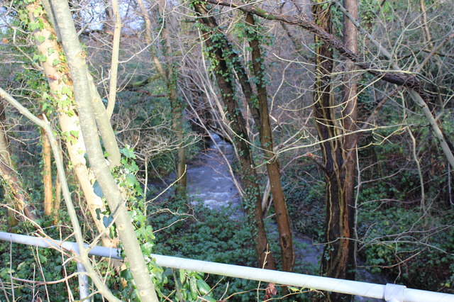
Image: © M J Roscoe Taken: 2 Jan 2016
Looking upstream after heavy rains; the stream here runs alongside Tir Philkins, Image, before disappearing into a culvert and eventually draining into the River Sirhowy.
Images are licensed for reuse under creativecommons.org/licenses/by-sa/2.0
Image Location
Latitude
51.662641
Longitude
-3.185356