Clubhouse, East Brighton Golf Club
Introduction
The photograph on this page of Clubhouse, East Brighton Golf Club by Simon Carey as part of the Geograph project.
The Geograph project started in 2005 with the aim of publishing, organising and preserving representative images for every square kilometre of Great Britain, Ireland and the Isle of Man.

There are currently over 7.5m images from over 14,400 individuals and you can help contribute to the project by visiting https://www.geograph.org.uk
Clubhouse, East Brighton Golf Club
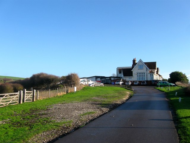
Image: © Simon Carey Taken: 31 Dec 2015
Erected in 1897 at the same time as the original Kemp Town Golf Club changed its name to East Brighton. The course extends over Red Hill and into the western side of Wick Bottom. One of seven that can be found on the Downs above the conurbation of Brighton and Hove.
Images are licensed for reuse under creativecommons.org/licenses/by-sa/2.0
Image Location
Latitude
50.816193
Longitude
-0.099768