Marjorie Street in Belgrave, Leicester
Introduction
The photograph on this page of Marjorie Street in Belgrave, Leicester by Mat Fascione as part of the Geograph project.
The Geograph project started in 2005 with the aim of publishing, organising and preserving representative images for every square kilometre of Great Britain, Ireland and the Isle of Man.

There are currently over 7.5m images from over 14,400 individuals and you can help contribute to the project by visiting https://www.geograph.org.uk
Marjorie Street in Belgrave, Leicester
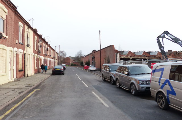
Image: © Mat Fascione Taken: 1 Jan 2016
On the right is the demolition of some factories which were destroyed by a massive fire on the 28th December 2015. The windows of the terraced houses on the left have been boarded up after being damaged by the heat of the fire.
Images are licensed for reuse under creativecommons.org/licenses/by-sa/2.0
Image Location
Latitude
52.647623
Longitude
-1.127613