Central Avenue Vicinity, Mapperley Plains, Notts.
Introduction
The photograph on this page of Central Avenue Vicinity, Mapperley Plains, Notts. by David Hallam-Jones as part of the Geograph project.
The Geograph project started in 2005 with the aim of publishing, organising and preserving representative images for every square kilometre of Great Britain, Ireland and the Isle of Man.

There are currently over 7.5m images from over 14,400 individuals and you can help contribute to the project by visiting https://www.geograph.org.uk
Central Avenue Vicinity, Mapperley Plains, Notts.
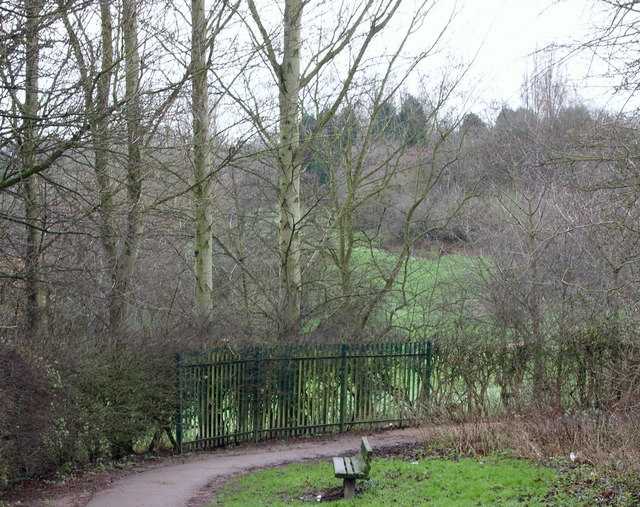
Image: © David Hallam-Jones Taken: 1 Jan 2016
The view of the start (or end) of a footpath/bridleway, seen from obliquely opposite the gates of Mapperley Plains Junior School. This combined footpath/bridleway continues downhill in the direction of Mapperley Recreation Ground.
Images are licensed for reuse under creativecommons.org/licenses/by-sa/2.0
Image Location
Latitude
52.987242
Longitude
-1.113786