Road junctions, Croespenmaen
Introduction
The photograph on this page of Road junctions, Croespenmaen by M J Roscoe as part of the Geograph project.
The Geograph project started in 2005 with the aim of publishing, organising and preserving representative images for every square kilometre of Great Britain, Ireland and the Isle of Man.

There are currently over 7.5m images from over 14,400 individuals and you can help contribute to the project by visiting https://www.geograph.org.uk
Road junctions, Croespenmaen
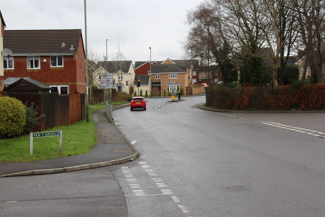
Image: © M J Roscoe Taken: 1 Jan 2016
The traffic lights are at a crossroads on the former B4251 with the Parc Bevin Estate behind. The road to the right is Lon Maes Yr Haf leading into Croespenmaen.
Images are licensed for reuse under creativecommons.org/licenses/by-sa/2.0
Image Location
Latitude
51.680905
Longitude
-3.166307