Housing terrace, Rookfield Estate
Introduction
The photograph on this page of Housing terrace, Rookfield Estate by Jim Osley as part of the Geograph project.
The Geograph project started in 2005 with the aim of publishing, organising and preserving representative images for every square kilometre of Great Britain, Ireland and the Isle of Man.

There are currently over 7.5m images from over 14,400 individuals and you can help contribute to the project by visiting https://www.geograph.org.uk
Housing terrace, Rookfield Estate
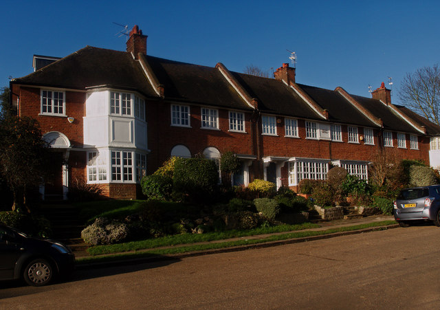
Image: © Jim Osley Taken: 31 Dec 2015
This terrace was built in 1913: it is the heart of the Rookfield Estate developed by the builder W.J. Collins from about 1901. More on the estate at this http://www.prickettandellis.com/news/articles/Whats-the-Story-The-Collins-Family-120785.aspx.
Images are licensed for reuse under creativecommons.org/licenses/by-sa/2.0
Image Location
Latitude
51.588591
Longitude
-0.138449