Flooded Field near Warth
Introduction
The photograph on this page of Flooded Field near Warth by David Dixon as part of the Geograph project.
The Geograph project started in 2005 with the aim of publishing, organising and preserving representative images for every square kilometre of Great Britain, Ireland and the Isle of Man.

There are currently over 7.5m images from over 14,400 individuals and you can help contribute to the project by visiting https://www.geograph.org.uk
Flooded Field near Warth
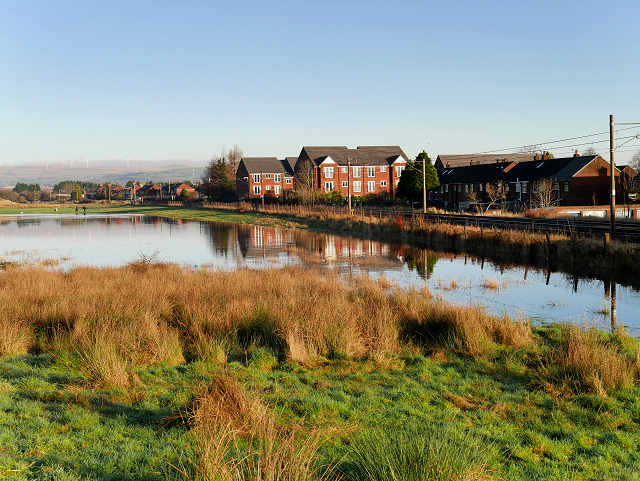
Image: © David Dixon Taken: 27 Dec 2015
A temporary "lake" between the canal and the Metrolink tramline, formed by flooding caused by the exceptionally high December rainfall.
Images are licensed for reuse under creativecommons.org/licenses/by-sa/2.0
Image Location
Latitude
53.570887
Longitude
-2.316012