Farmland near Leys Farm
Introduction
The photograph on this page of Farmland near Leys Farm by Bill Boaden as part of the Geograph project.
The Geograph project started in 2005 with the aim of publishing, organising and preserving representative images for every square kilometre of Great Britain, Ireland and the Isle of Man.

There are currently over 7.5m images from over 14,400 individuals and you can help contribute to the project by visiting https://www.geograph.org.uk
Farmland near Leys Farm
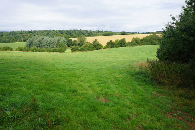
Image: © Bill Boaden Taken: 20 Aug 2015
The valleys drain south towards the Glyme, but I couldn't find any name for the rivers here. The far trees are in Heythrop Park.
Images are licensed for reuse under creativecommons.org/licenses/by-sa/2.0
Image Location
Latitude
51.931695
Longitude
-1.453825