Northern boundary of Nailsworth
Introduction
The photograph on this page of Northern boundary of Nailsworth by Jaggery as part of the Geograph project.
The Geograph project started in 2005 with the aim of publishing, organising and preserving representative images for every square kilometre of Great Britain, Ireland and the Isle of Man.

There are currently over 7.5m images from over 14,400 individuals and you can help contribute to the project by visiting https://www.geograph.org.uk
Northern boundary of Nailsworth
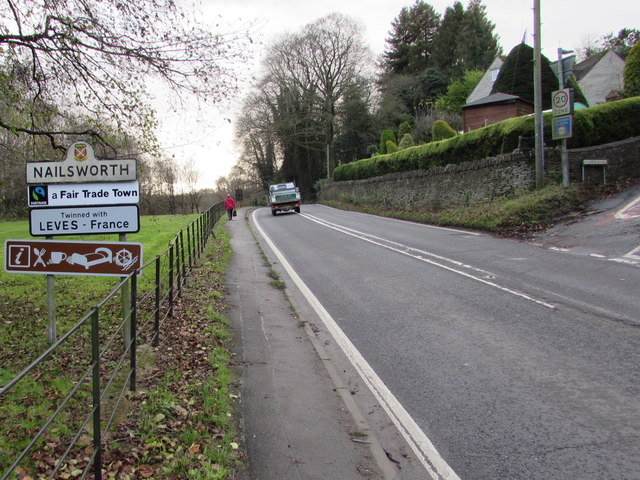
Image: © Jaggery Taken: 20 Dec 2015
The A46 from Stroud reaches Nailsworth. The Inchbrook Hill http://www.geograph.org.uk/photo/4777481 junction is on the right. Nailsworth, a Fair Trade Town in Gloucestershire, is twinned with Leves (France).
Images are licensed for reuse under creativecommons.org/licenses/by-sa/2.0
Image Location
Latitude
51.705895
Longitude
-2.229036