The end of Carrwood Road
Introduction
The photograph on this page of The end of Carrwood Road by Adam C Snape as part of the Geograph project.
The Geograph project started in 2005 with the aim of publishing, organising and preserving representative images for every square kilometre of Great Britain, Ireland and the Isle of Man.

There are currently over 7.5m images from over 14,400 individuals and you can help contribute to the project by visiting https://www.geograph.org.uk
The end of Carrwood Road
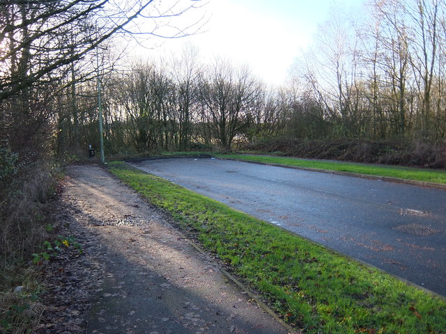
Image: © Adam C Snape Taken: 27 Dec 2015
Carrwood Road currently stops abruptly just before it meets the cycle path through Preston Junction Nature Reserve http://www.geograph.org.uk/snippet/14389 . There is a path to allow pedestrians and cyclists to access the nature reserve but the road goes no further. Housing development on the old gasworks site to the west is dependent upon the construction of a new link road connecting Walton-le Dale and Penwortham by extending Carrwood Road to meet The Cawsey, a pre-existing estate road. It is proposed that the link road will pass over the nature reserve and cycle path by means of a bridge. View from the cycle path: Image More details about the development and link road: https://web.archive.org/web/20151229180207/http://www.leylandguardian.co.uk/news/local/former-gasworks-site-gets-the-go-ahead-for-280-new-homes-1-7411180
Images are licensed for reuse under creativecommons.org/licenses/by-sa/2.0
Image Location
Latitude
53.737912
Longitude
-2.693998