Normanby Road
Introduction
The photograph on this page of Normanby Road by Stephen McCulloch as part of the Geograph project.
The Geograph project started in 2005 with the aim of publishing, organising and preserving representative images for every square kilometre of Great Britain, Ireland and the Isle of Man.

There are currently over 7.5m images from over 14,400 individuals and you can help contribute to the project by visiting https://www.geograph.org.uk
Normanby Road
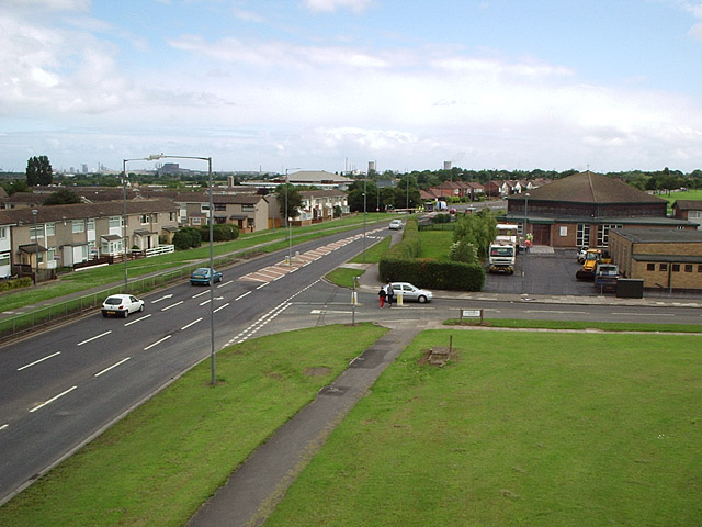
Image: © Stephen McCulloch Taken: 26 Jun 2007
Looking along Normanby Road, showing its junction with Allendale Road. St Gabriel's Church is on the right. On the skyline can be seen Corus' Lackenby steelworks (between the 2 lampposts) and cooling towers from the Wilton chemical site.
Images are licensed for reuse under creativecommons.org/licenses/by-sa/2.0
Image Location
Latitude
54.552363
Longitude
-1.175136