Saxon Walk, Mundford
Introduction
The photograph on this page of Saxon Walk, Mundford by Stephen McKay as part of the Geograph project.
The Geograph project started in 2005 with the aim of publishing, organising and preserving representative images for every square kilometre of Great Britain, Ireland and the Isle of Man.

There are currently over 7.5m images from over 14,400 individuals and you can help contribute to the project by visiting https://www.geograph.org.uk
Saxon Walk, Mundford
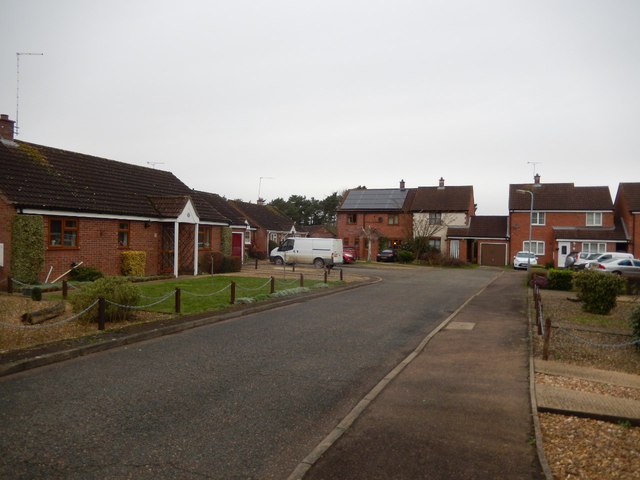
Image: © Stephen McKay Taken: 25 Dec 2015
Housing dating from the early 1990s on the edge of Mundford village.
Images are licensed for reuse under creativecommons.org/licenses/by-sa/2.0
Image Location
Latitude
52.512215
Longitude
0.645637