Llyn dros dro / A temporary lake
Introduction
The photograph on this page of Llyn dros dro / A temporary lake by Ceri Thomas as part of the Geograph project.
The Geograph project started in 2005 with the aim of publishing, organising and preserving representative images for every square kilometre of Great Britain, Ireland and the Isle of Man.

There are currently over 7.5m images from over 14,400 individuals and you can help contribute to the project by visiting https://www.geograph.org.uk
Llyn dros dro / A temporary lake
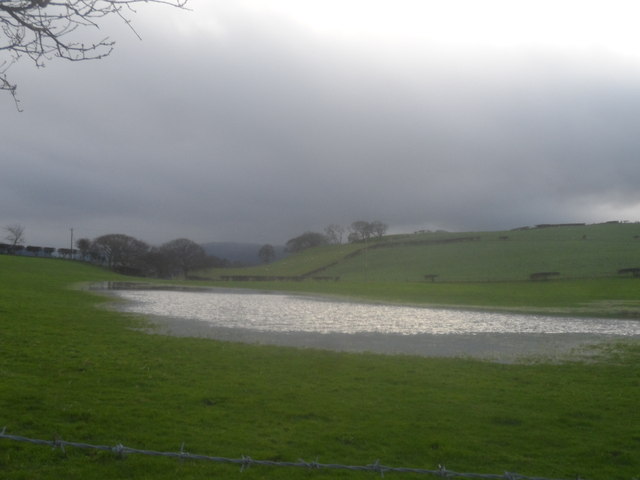
Image: © Ceri Thomas Taken: 27 Dec 2015
Following torrential lane on the 25th and 26th December 2015, a temporary lake had formed near Bryn Seiri Road.
Images are licensed for reuse under creativecommons.org/licenses/by-sa/2.0
Image Location
Latitude
53.267579
Longitude
-3.822776