Hollinwood Lane Vicinity, Calverton, Notts
Introduction
The photograph on this page of Hollinwood Lane Vicinity, Calverton, Notts by David Hallam-Jones as part of the Geograph project.
The Geograph project started in 2005 with the aim of publishing, organising and preserving representative images for every square kilometre of Great Britain, Ireland and the Isle of Man.

There are currently over 7.5m images from over 14,400 individuals and you can help contribute to the project by visiting https://www.geograph.org.uk
Hollinwood Lane Vicinity, Calverton, Notts
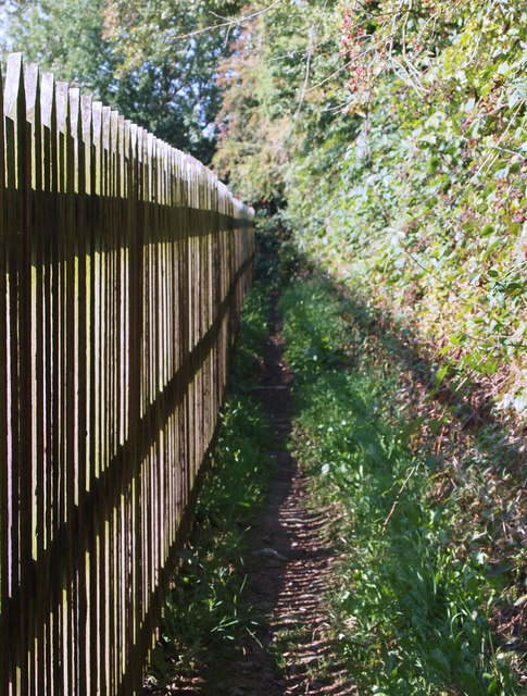
Image: © David Hallam-Jones Taken: 1 Oct 2015
A substantial wooden fence marks the boundary between Hollinwood House (perhaps previously a farm?) and the commencement (or termination) of a rural footpath at the unmade, westerly-most, end of Hollinwood Lane. Calverton's Main Street lies 2-3 miles behind the photographer.
Images are licensed for reuse under creativecommons.org/licenses/by-sa/2.0
Image Location
Latitude
53.035933
Longitude
-1.109508