Bank Top Farm, Iveston
Introduction
The photograph on this page of Bank Top Farm, Iveston by Robert Graham as part of the Geograph project.
The Geograph project started in 2005 with the aim of publishing, organising and preserving representative images for every square kilometre of Great Britain, Ireland and the Isle of Man.

There are currently over 7.5m images from over 14,400 individuals and you can help contribute to the project by visiting https://www.geograph.org.uk
Bank Top Farm, Iveston
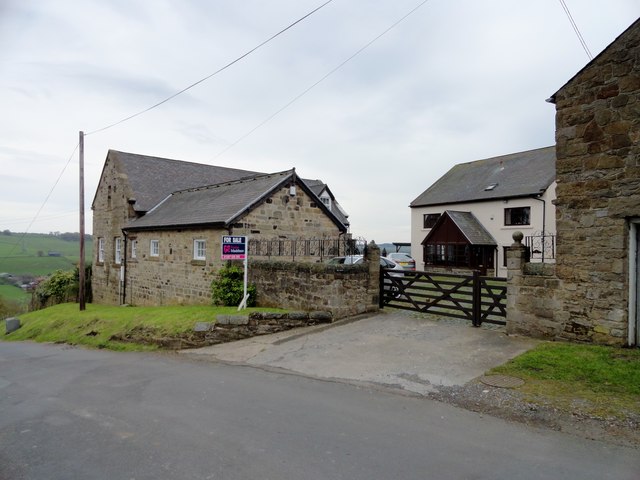
Image: © Robert Graham Taken: 5 May 2014
Iveston is an old agricultural settlement and had several farms in the village. This one has now been converted to residential use.
Images are licensed for reuse under creativecommons.org/licenses/by-sa/2.0
Image Location
Latitude
54.848122
Longitude
-1.782719