Track along Woodland Road, Ivybridge
Introduction
The photograph on this page of Track along Woodland Road, Ivybridge by David Smith as part of the Geograph project.
The Geograph project started in 2005 with the aim of publishing, organising and preserving representative images for every square kilometre of Great Britain, Ireland and the Isle of Man.

There are currently over 7.5m images from over 14,400 individuals and you can help contribute to the project by visiting https://www.geograph.org.uk
Track along Woodland Road, Ivybridge
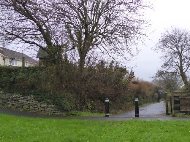
Image: © David Smith Taken: 19 Dec 2015
The development of housing around Woodland Farm has led to the creation of a new road skirting the edge of the estate. To prevent through traffic from going through the estate, the old road has been closed to leave a foot and cycle-path
Images are licensed for reuse under creativecommons.org/licenses/by-sa/2.0
Image Location
Latitude
50.389389
Longitude
-3.940691